
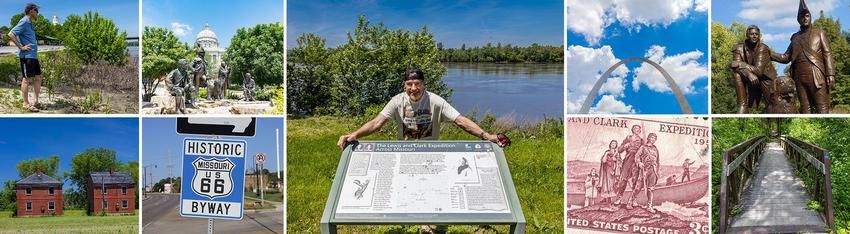
Lewis and Clark's Expedition from Missouri to the Pacific
This historic expedition was an important journey and one of the most important historical events in the history of the United States. This event was actually a real estate deal in which President Thomas Jefferson arranged for the purchase of the Louisiana territory in 1803. This purchase from the French is called the Louisiana Purchase. It was significant because by buying this territory the United State was able to increase in size and new areas were now open for expansion. Shortly following the Louisiana Purchase, Jefferson sent Meriwether Lewis and William Clark on the first exploration of the new territory. This was called the Corps of Discovery, or the Lewis and Clark Expedition.
One of the reasons why President Jefferson called on the Corps of Discovery was to find a northwest passage. This passage would be a route of connecting rivers that would go through the Rocky Mountains and link the Columbia and Missouri Rivers. He also wanted to establish his authority over the Indians and to discover as much as possible about the new lands. To command the expedition, Meriwether Lewis was chosen by President Jefferson. His experience included being a former Captain in the U.S. Army, a skilled frontiersmen, and he was the secretary to the President. Lewis recruited William Clark to help him unofficially command the Corps of Discovery. Both had once been a part of the Army. He was also a very skilled frontiersman and draftsman. In addition to these pioneers there were thirty-three other members. Some of these members were military and others were not. For example, a non-military member of the party was a man named York who was a slave.
The journey began outside of Missouri in 1804. Their journey that year lasted from the summer to the fall. They traveled upstream until they reached Fort Mandan where they would wait over the winter and get ready for the second half of their journey. In 1805, during the spring, The Expedition began its travels through Missouri to what is now Three Forks, Montana. They met the Shoshone Indians who helped them over the Bitterroot Mountains by providing them with horses. After crossing the mountains the members of the expedition needed to travel to what is now Oregon. To do this they made canoes that they used to travel down the Columbia river. This is where they stayed until the winter passed and they returned home. Through their travels they had a number of encounters. These encounters allowed them to meet various groups of Native Americans with whom they set-up diplomatic relationships. They carefully recorded their journey and findings by taking notes and by making drawings of the many creatures and items that they came across. William Clark drew detailed maps of rivers and other waterways.
By the time the journey ended in 1806 much of Jefferson's wishes for the expedition were met. The maps of water routes would be used by future explorers, both American and immigrant, to go further into the western part of the country. This would continue for two centuries and would play a part in eventually pushing Native Americans into reservations, and changing the landscape from one of nature to one of cities and farms. It would also end in the displacement of animal life, such as the wild buffalo.
If you're making a vacation to Branson, find things to do and great places to stay and things to experience.
